
Source: LA Metropolitan Transportation Authority
![]()
Source: LA Metropolitan Transportation Authority
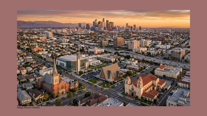
Anyone looking at a map of the LA Metro notices that it is an East Side phenomenon – the westernmost point it reaches on the coastal side of the hills is Hollywood and Highland. It is kind of as if BART did not go under the bay to San Francisco! As a matter of fact, in Los Angeles there is not a bay, but underlying the whole Miracle Mile area is a whole sea of tar that is miles deep. (The famous La Brea Tar Pits are but the tip of the tar-berg, as it were.) My dad told me that when they were building the taller buildings in that area in the 50s they had to put in a heavy foundation and sort of float the buildings in the tar, like ships. So this has been a bit of a scary prospect for anyone who contemplated building an underground metro line along Wilshire. Yet, that is where the main traffic or action is.
On the other hand, the so called Expo Line, which will run past the University of California, happens to follow some old railroad tracks that do run all the way to Santa Monica, and lo and behold somebody forgot to tear them out! They were joined by another old metro line that ran down Santa Monica Boulevard, between it and what was called Little Santa Monica Boulevard. Alas, some of those tracks were taken out, though in Beverly Hills all they put in in its place were some parking structures.
I think that restoring those two lines as light rail would be a lot more cost effective way to do a “Metro to the Sea” than a subway all the way down Wilshire. The Santa Monica Boulevard line would have to tunnel underground at its east end, to end up at the Hollywood and Highland Station. The two lines could cross each other – the Santa Monica Boulevard line running to the sea and the Expo Line running up into Westwood – in which case we should call it the Blue and Gold and Cardinal and Gold Line!
But never fear – I have suggestions for Wilshire Boulevard and other streets as well. Wilshire Boulevard could be turned into a corridor of transit emphasis. Private automobiles other than taxis would be restricted to one lane each way, and perhaps if the buses have the rest of the street they may be able to approach “virtual rail” or “BRT” (bus rapid transit) standards, where there may be no tracks, but like trains, the buses are not impeded or affected by auto traffic. An example of “virtual rail” in its pure form is the Orange Line that runs from the end of the Red Line to Warner Center in the Valley. Buses are completely independent of traffic, and the whole process of buying tickets is more like that for a train.
Wilshire Boulevard would be the most radically transformed, probably. Notice I don’t eliminate automobiles altogether. We forget that people need to deliver things and carry shopping bags, and not just themselves. And, since I don’t intend to destroy the automobile altogether, I propose an alternating pattern. Pico Boulevard, Third Street, Melrose, and Hollywood Boulevard would become bus-heavy corridors. Venice, Olympic, Sixth, and Beverly might be made even more convenient for automobiles than they are now, maybe with greater restrictions on parking. I would make Santa Monica Boulevard and Fountain Avenue one-way streets where they parallel each other, Santa Monica eastbound, Fountain Avenue westbound. That is the only such one-way project I envision.
I confess that I have not yet thought enough about north-south streets, and which ones I would make more heavily emphatic to transit and which I might make even more automobile-friendly. But if I ever did, I would follow a similar plan of alternating transit-emphasizing boulevards and auto-emphasizing boulevards.
Related “In L.A., which is the best way west?” at the LA Times
The South may be the one part of the country where ‘evangelicals’ actually have some cultural dominance. But ‘evangelicalism’ has had its power centers all around the country. This is especially so in the Philadelphia-Princeton belt, the halo around Lake […]
During the mid-20th century the image of the cigar was a rather tacky one. Its high class image flourished in the First Gilded Age, 1865-1917, and again in the Second Gilded Age, approximately 1975 to the present day. In the […]

A difficult feature of the current – and most popular method – of romanizing Japanese makes it difficult to pronounce properly or understand some words. Would you prefer a Nô play, a Noh play, a Nou play, or a Noo […]